FIRST ALERT: Summer-like heat continues this week
COLUMBIA, S.C. (WIS) - Heat and humidity sticks around this week, with rain chances returning by Thursday.
First Alert Headlines:
- Summer-like heat and humidity today!
- Staying hot throughout most of this week.
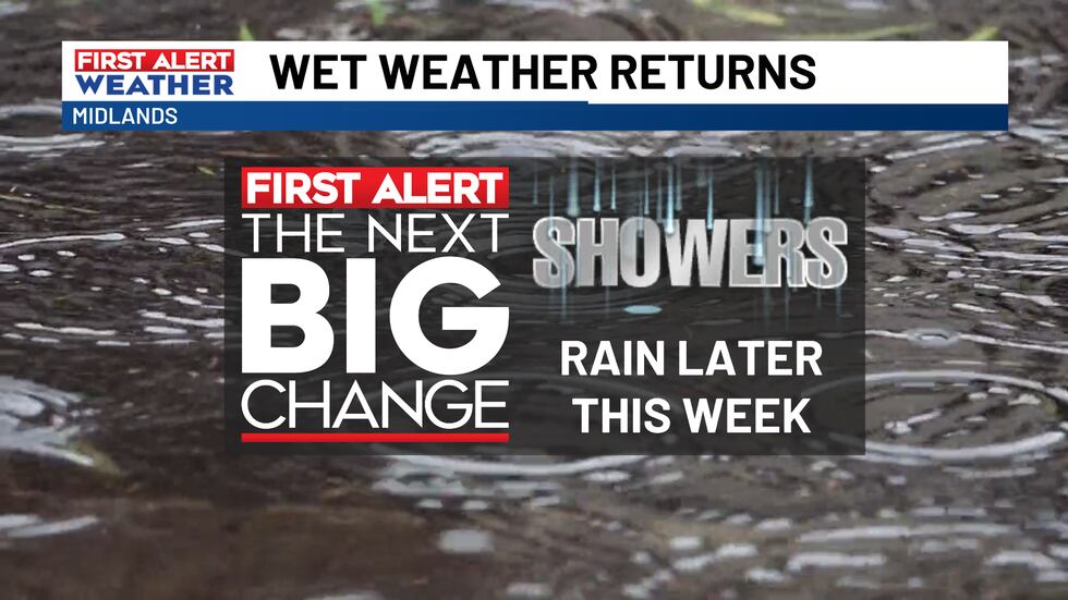
- Showers and storms returns later this week.
First Alert Summary:
Similar to this past weekend, we have another hot and summer-like forecast on tap today with high-pressure holding strong overhead. High temperatures are expected to climb to the lower 90s this afternoon under a mostly sunny sky. It will also feel a little humid as southerly winds bring in more moisture to the region.
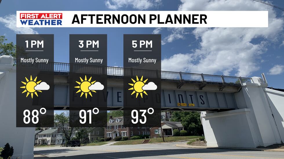
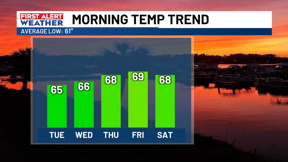
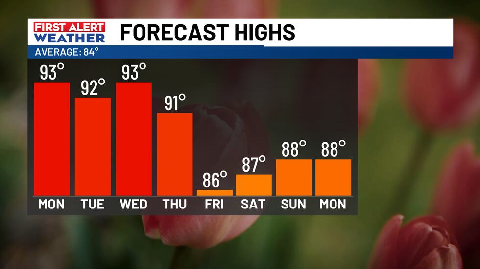
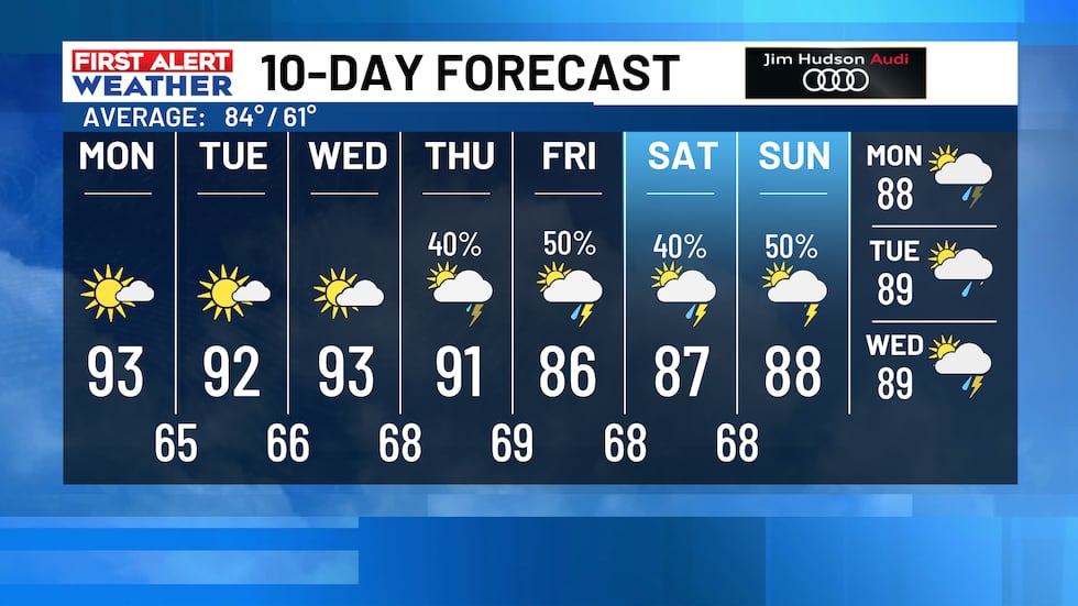
Unseasonably warm temperatures and humidity levels will continue to rise as the week goes on. Afternoon highs will run in the 90s with morning low temperatures quite warm in the 60s to near 70-degrees.
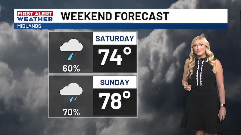
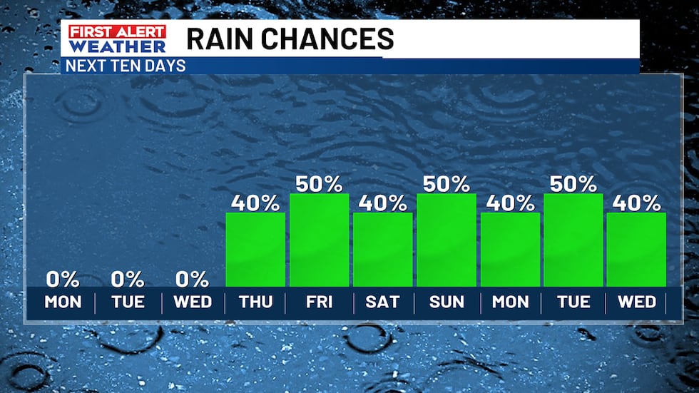
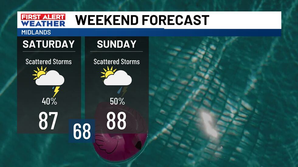
Another big weather pattern shift will take place by the end of the week and into our Memorial Day Weekend. A slow-moving front will help spark up an unsettled weather pattern with multiple opportunities of showers and thunderstorms.
First Alert Forecast:
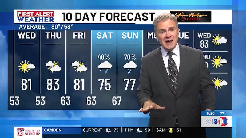
Today: Mostly sunny and hot. Highs in the lower 90s.
Tonight: Mostly clear. Lows in the mid-60s.
Tuesday: After patchy fog and low clouds in the morning, mostly sunny for the afternoon. Highs in the low-90s.
Wednesday: Partly cloudy. Highs in the low-90s.
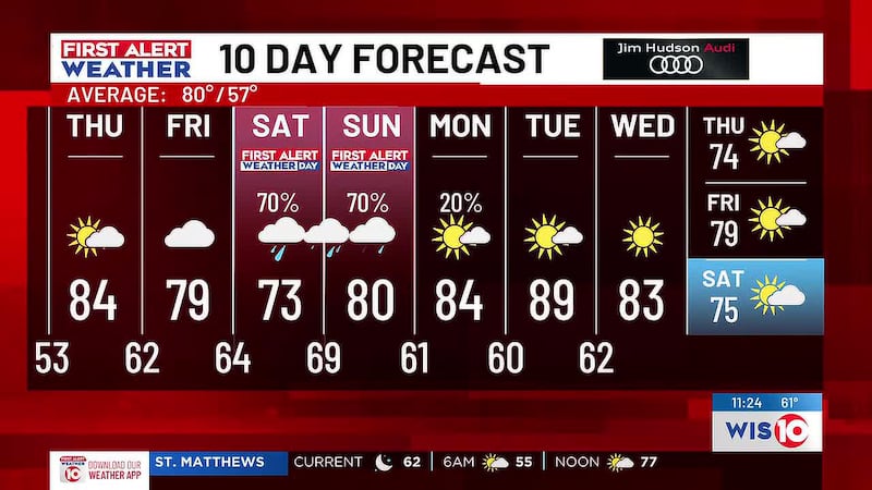
Thursday: Dry in the morning with a few afternoon and evening thunderstorms. Chance of rain 40%. Highs in the low-90s.
Friday: Scattered showers and thunderstorms by the afternoon and evening. Chance of rain 50%. Highs in the mid and upper-80s.
Feel more informed, prepared, and connected with WIS. For more free content like this, subscribe to our email newsletter, and download our apps. Have feedback that can help us improve? Click here.
Copyright 2026 WIS. All rights reserved.