FIRST ALERT: More summer-like heat ahead, rain chances return by Memorial Day weekend
COLUMBIA, S.C. (WIS) - Summer-like heat continues with rain chances making a comeback later this week.
First Alert Headlines:
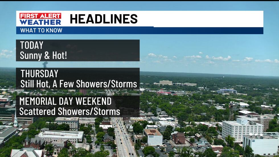
- Staying dry today with summer-like heat.
- Rain chances are back later this week.
- Showers and storms possible throughout Memorial Day weekend.
First Alert Summary:
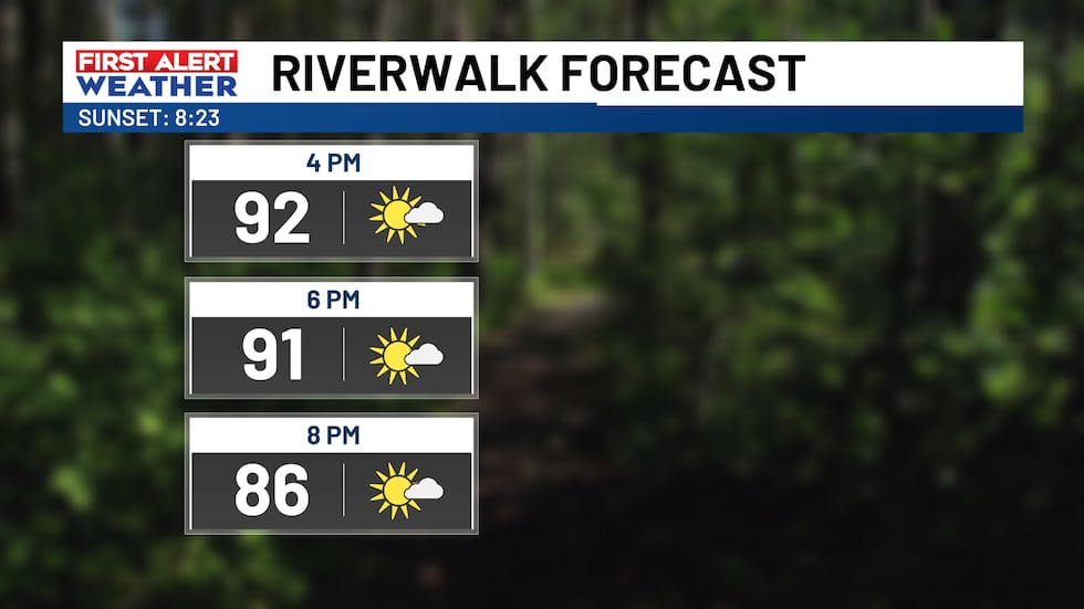
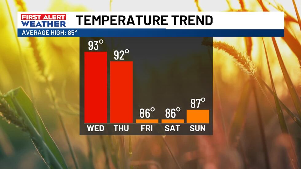
High pressure keeps control of our forecast, continuing this stretch of summer-like heat and humidity. Throughout the day, we’ll have a few passing clouds. It’ll get hot again, with highs in the low and mid-90s.
Later this week, this area of high pressure will be moved farther offshore by an incoming cold front. This will allow for increased moisture, which means more humidity and the return of rain chances to our forecast.
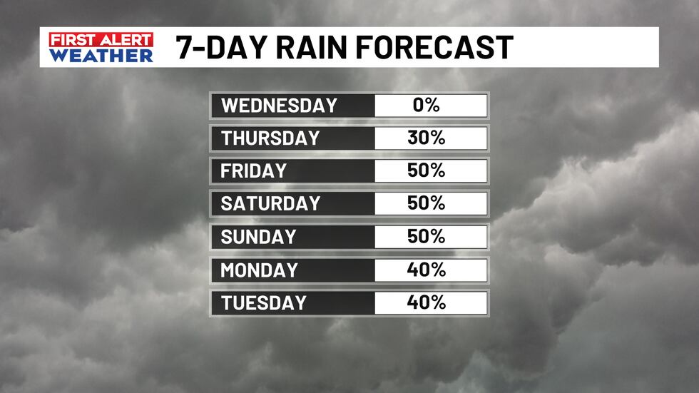
Daily opportunities for showers and storms will ramp up by the upcoming holiday weekend. While these days won’t be a washout, it would be a good idea to have a backup for any outdoor plans. Each afternoon, we’ll watch for pop-up showers and storms.

First Alert Forecast:
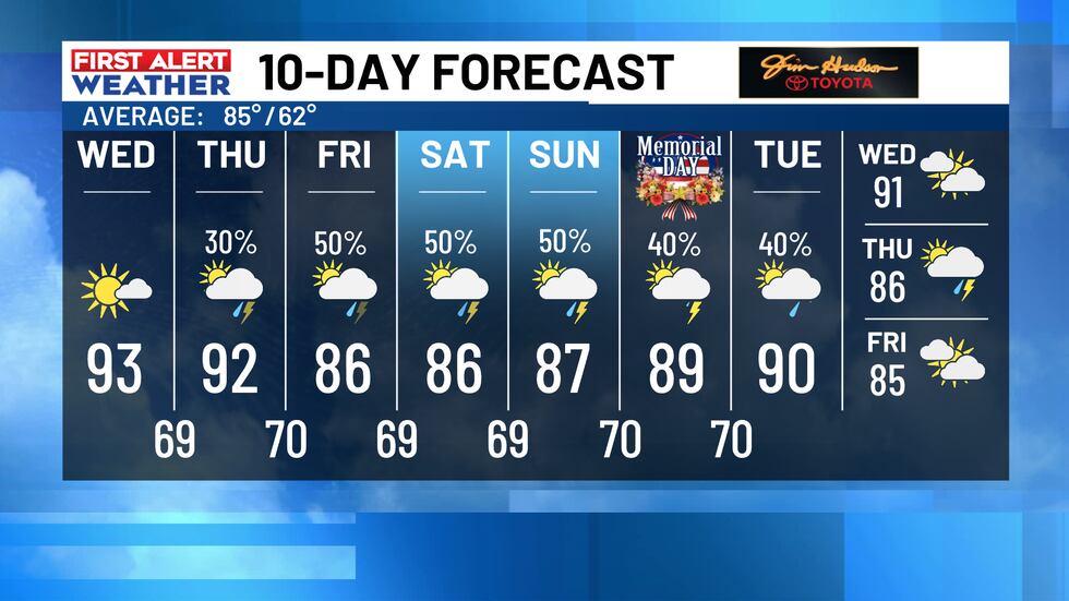
Today: Mostly sunny. Highs in the low and mid-90s.
Tonight: Mostly clear. Lows in the upper-60s.
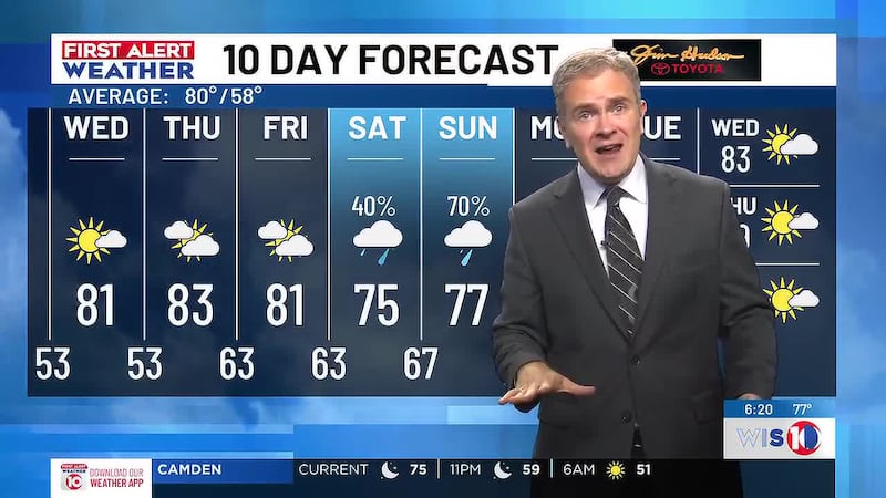
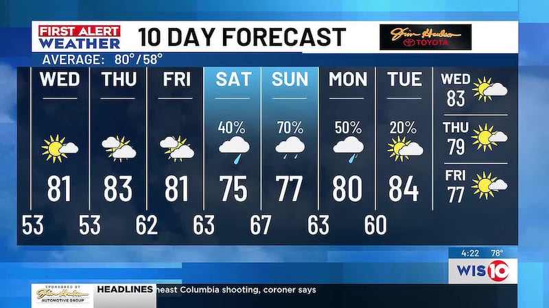
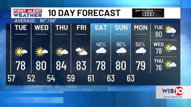
Thursday: Partly cloudy with a couple of afternoon and evening thunderstorms. Chance of rain 30%. Highs in the low-90s.
Friday: Mostly cloudy with afternoon and evening storms. Chance of rain 50%. Highs in the mid and upper-80s.
Saturday: Scattered showers and thunderstorms, mainly in the afternoon and evening. Chance of rain 50%. Highs in the mid-80s.
Sunday: Scattered showers and storms, especially in the afternoon and evening. Highs in the mid and upper-80s.
Feel more informed, prepared, and connected with WIS. For more free content like this, subscribe to our email newsletter, and download our apps. Have feedback that can help us improve? Click here.
Copyright 2026 WIS. All rights reserved.